Datasheet
Year, pagecount:2012, 7 page(s)
Language:English
Downloads:3
Uploaded:January 15, 2018
Size:751 KB
Institution:
-
Comments:
Attachment:-
Download in PDF:Please log in!
Comments
No comments yet. You can be the first!Most popular documents in this category


Content extract
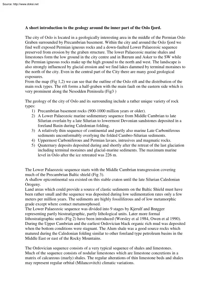
Source: http://www.doksinet A short introduction to the geology around the inner part of the Oslo fjord. The city of Oslo is located in a geologically interesting area in the middle of the Permian Oslo Graben surrounded by Precambrian basement. Within the city and around the Oslo fjord we find well exposed Permian igneous rocks and a down-faulted Lower Palaeozoic sequence preserved from erosion by the graben structure. The lower Palaeozoic marine shales and limestones form the low ground in the city centre and in Bærum and Asker to the SW while the Permian igneous rocks make up the high ground to the north and west. The landscape is also strongly influenced by glacial erosion and we find lakes dammed by terminal moraines to the north of the city. Even in the central part of the City there are many good geological exposures. From the map (Fig 1,2) we can see that the outline of the Oslo rift and the distribution of the main rock types. The rift forms a half-graben with the main fault
on the eastern side which is very prominent along the Nesodden Peninsula (Fig3 ) The geology of the city of Oslo and its surrounding include a rather unique variety of rock types: 1) Precambrian basement rocks (900-1000 million years or older). 2) A Lower Palaeozoic marine sedimentary sequence from Middle Cambrian to late Silurian overlain by a late Silurian to lowermost Devonian sandstones deposited in a foreland Basin during Caledonian folding. 3) A relatively thin sequence of continental and partly also marine Late Carboniferous sediments unconformably overlying the folded Cambro-Silurian sediments. 4) Uppermost Carboniferous and Permian lavaes, intrusives and magmatic rocks. 5) Quaternary deposits deposited during and shortly after the retreat of the last glaciation including terminal moraines and glacial-marine sediments. The maximum marine level in Oslo after the ice retreated was 226 m. The Lower Palaeozoic sequence starts with the Middle Cambrian transgression covering much of
the Precambrian Baltic shield (Fig 3). A shallow epicontinental sea existed on this stable craton until the late Silurian Caledonian Orogeny. Land areas which could provide a source of clastic sediments on the Baltic Shield must have been rather small and the sequence was deposited during low sedimentation rates only a few meters per million years. The sediments are highly fossiliferous and of low metamorphic grade except where contact metamorphosed. The Lower Palaeozoic sequence was divided into 9 stages by Kjerulf and Brøgger representing partly biostratigraphic, partly lithological units. Later more formal lithostratigraphic units (Fig 2) have been introduced (Worsley et al 1984, Owen et al 1990). During the Upper Cambrian and the earliest Ordovician black organic rich mud was deposited when the bottom conditions were stagnant. The Alum shale was a good source rocks which matured during the Caledonian folding similar to other foreland type petroleum basins in the Middle East or
east of the Rocky Mountains. The Ordovician sequence consists of a very typical sequence of shales and limestones. Much of the sequence consists of nodular limestones which are limestone concretions in a matrix of calcareous (marly) shales. The regular alterations of thin limestone beds and shales may represent regular orbital (Milancovitch) climatic variations. Source: http://www.doksinet Near the Ordovician/Silurian boundary there is a break in the sequence indicating a relative short period of uplift and exposure before the marine sedimentation continuous in the lower Silurian. Below the unconformity we find cross-bedded sand with ooids and quarts grains On the many islands in the inner parts of the Oslo fjord there are excellent exposures particularly of the Ordovician shales and limestones. The Silurian sequence also includes nodular limestone but also more massive limestones, some with abundant corals. These sediments where deposited when the Oslo region was in a position
close to the equator. The contact between limestones deposited in a clear water environment with corals to the overlying siliceous mud and sand of the prograding foreland basin facies is very sharp. The folded Lower Paleozoic sediments form ridges of alternating limestones and shales forming the shapes of the islands in the inner parts of the Oslo fjord. The late Silurian (Caledonian) folding occurred when the sediments where soft and ductile and even the relatively thin limestones have been folded in tight folds during progressive burial during the deposition of the overlying late Silurian sandstones (Ringerike Fm). The Oslo area was then a part of a large foreland basin in along the eastern margin of the Caledonian mountain chain (Fig 3) and was in a similar structural position as Iraq and other parts of the Middle East relative to the mountains in Iran. Large amounts of oil were generated from the Cambrian Alum shale during increasing burial in the foreland basin in the Oslo Region
but almost none of this is preserved. Sailing in the sounds between the islands we get very good cross sections illustrating the tectonic style of the Caledonian folding. The Oslo rift is a part of the Carboniferous and Permian rift system which are found in the North Sea and Scotland. Just to the south of Oslo it is a half-graben and the main fault is on the eastern side along Nesodden which is a horst with Precambrian basement rocks. The Permian lavaes form a prominent escarpment at Kolsås in Bærum and also further south in Asker. Below the lavaes the Upper Carboniferous sediments are forming the base of the cliffs (Fig 4). This film will take you on a boat trip in the inner part of the Oslo fjord and also to localities in the surrounding area. The main emphasis will be on the lower Palaeozoic sequence which is almost complete from the Middle Cambrian to the late Silurian. It is just a very small sample of the many interesting aspects of the geology in and around Oslo. Some
references on the sedimentology and the stratigraphy of the Lower Palaeozoic sediments of the Oslo area. Bjørlykke, K. 1974 Depositional history and geochemical composition of lower Paleozoic epicontinental sediments from the Oslo Region, Norway. Norges Geologiske Undersøkelse Bull. 305, 81 pp Bjørlykke, K. 1983 Subsidence and tectonics in late Precambrian and Palaeozoic sedimentary basins of southern Norway. Norges Geologiske Undersøkelse Bull 380, 159 - 172 Owen,A.W,Bruton,DL, Bockelie, JF and Bockelie, T1990 The Ordovician Succession of the Oslo Region. Norway Norges Geologiske Undersøkelse Special Publication No 41-54 Worsley, D., Aarhus, N, Basset, MG, Howe, MPA, Mørk,A and Olaussen, S 1983 The Silurian Succession of the Oslo Region. Norges Geologiske Undersøkelse Bull 384157 Source: http://www.doksinet OSLO PALEORIFT Lavabergarter (Permisk) Subvulkanske porfyrer Kambros ilur Granitt Prekambrium Monzonitt Syenitt OS EN R ØA - ET DEKK Hamar Gjøvik Mjøsa
Randsfjorden Større forkstningssoner Rombeporfyr (-gang) Skreia Caldera Sperillen Mistberget Krøderen Eidsvoll Grua 25 km Hønefoss Nordmarka Hakedal Tyrifjorden Krokskogen Nittedal Bæ rum Finnemarka Os lo Øyeren Østmarka Glitrevann Lågen Dra mmen Kongsberg Nesodden Eikeren Sande Hurum Notodden Hille stad Horten Moss Ramnes Gjerpen Tønsberg Fen Sarpsborg Nordsjø Fredriksta d Skien Sande fjord Brevik Larvik Tråk Langesund Oslofjorden Kragerø O.Nilsen 2001, etter Ihlen &Vokes (1978); Pederse n, 1986 og Nordgulen (1999) Fig 1. Source: http://www.doksinet Sundvollen Nordmarka Nittedal Cauldron Krokskogen Sørke dalen H Bæ rum Cauldron Holmenkollen Maridalsvann fj o ols e rd n Lørenskog Lommedalen Gro rud Oslo Kolsås Fo rnebu Bygdøy Sandvika Sylling 1 Ekeberg 5 2 Vestmarka Asker 4 Bunnefjorden 3 Østmarka Oslofjorden Kolbotn Nesodden Slemmestad Lier Kjekstadmarka Drammen Ca uldron Nærsn es sen m am en Dr rd f jo
Røyke n GEOLOGISK OVERSIKTSKART OSLO-OMRÅDET Simplified geological map ofOVER the Oslo area Permianplutonske plutonicbergarter Permiske Quaternary sediments Kvartære løsmasser rocks Permiske vulkanitter Permian lava Større forkastninger Major faults Kambro-silur metasedimenter L.Palaeozoic sediments MÅLESTOKK: Precambrian basement Prekambrisk grunnfjell EKSKURSJONSLOKALITETER: 1 - Tjuvholmen 2 - Flaskebekk 3 - Ildjernet 4 - Spannlokket 5 - Kalvøya Fig 2. 0 15 km Sammenstilt av Odd Nilsen, 1997, hovedsakelig etter Naterstad (1991) Source: http://www.doksinet Simplified section Oslo Rift SKJEMATISK PROFILacross OVERthe OSLO-RIFTEN SE NW Kolsås Nærsnes Steilene Nesodden Karbon / permiske sedimenter, lavaer og dypbergarter Permian LavaCarboniferous sed. Upper L.Palaeozoic Kambrosilurisk . skifer og kalk Konglomerat Intrusivganger Breksje Breccia (knusningssone) Precambrian basement Prekambrisk grunnfjell ON03 Fig 3. Source: http://www.doksinet Fig 4
Stratigraphy of the Lower Palaeozoic of the Oslo Area. Source: http://www.doksinet Fig 5 Simplified reconstruction of the tectonic evolution of a foreland basin in the Oslo Region