Please log in to read this in our online viewer!
Please log in to read this in our online viewer!
No comments yet. You can be the first!
What did others read after this?
Content extract
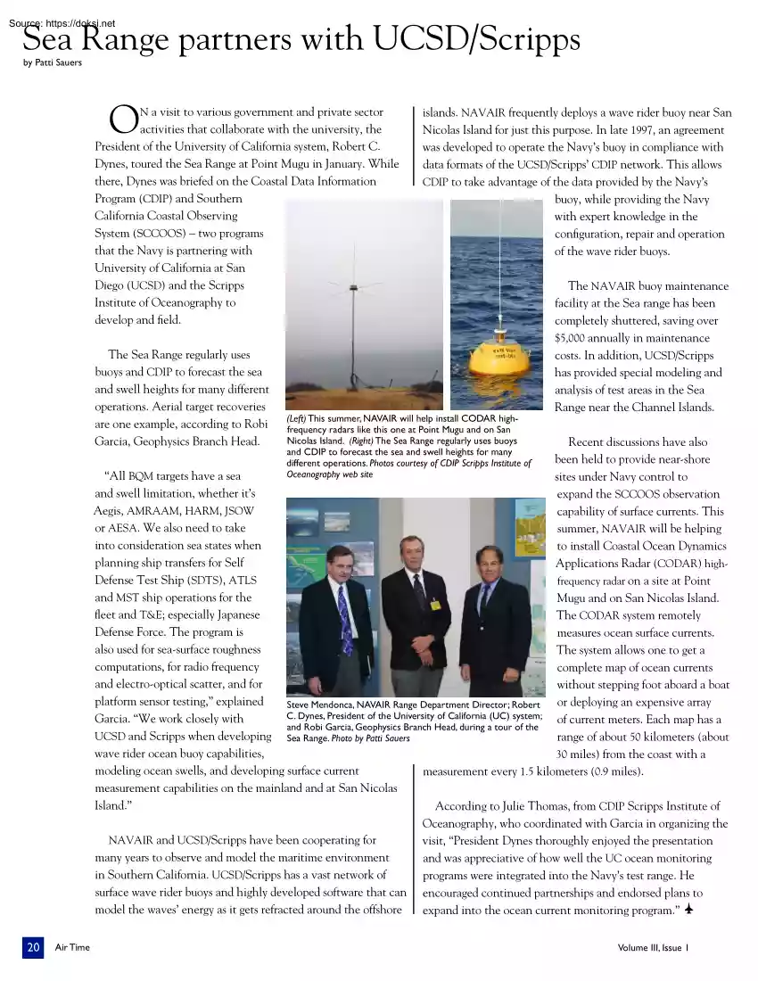
Sea Range partners with UCSD/Scripps by Patti Sauers O N a visit to various government and private sector activities that collaborate with the university, the President of the University of California system, Robert C. Dynes, toured the Sea Range at Point Mugu in January. While there, Dynes was briefed on the Coastal Data Information Program (CDIP) and Southern California Coastal Observing System (SCCOOS) – two programs that the Navy is partnering with University of California at San Diego (UCSD) and the Scripps Institute of Oceanography to develop and field. The Sea Range regularly uses buoys and CDIP to forecast the sea and swell heights for many different operations. Aerial target recoveries are one example, according to Robi Garcia, Geophysics Branch Head. islands. NAVAIR frequently deploys a wave rider buoy near San Nicolas Island for just this purpose. In late 1997, an agreement was developed to operate the Navy’s buoy in compliance with data formats of the
UCSD/Scripps’ CDIP network. This allows CDIP to take advantage of the data provided by the Navy’s buoy, while providing the Navy with expert knowledge in the configuration, repair and operation of the wave rider buoys. (Left) This summer, NAVAIR will help install CODAR highfrequency radars like this one at Point Mugu and on San Nicolas Island. (Right) The Sea Range regularly uses buoys and CDIP to forecast the sea and swell heights for many different operations. Photos courtesy of CDIP Scripps Institute of Oceanography web site The NAVAIR buoy maintenance facility at the Sea range has been completely shuttered, saving over $5,000 annually in maintenance costs. In addition, UCSD/Scripps has provided special modeling and analysis of test areas in the Sea Range near the Channel Islands. Recent discussions have also been held to provide near-shore “All BQM targets have a sea sites under Navy control to and swell limitation, whether it’s expand the SCCOOS observation Aegis,
AMRAAM, HARM, JSOW capability of surface currents. This or AESA. We also need to take summer, NAVAIR will be helping into consideration sea states when to install Coastal Ocean Dynamics planning ship transfers for Self Applications Radar (CODAR) highDefense Test Ship (SDTS), ATLS frequency radar on a site at Point and MST ship operations for the Mugu and on San Nicolas Island. fleet and T&E; especially Japanese The CODAR system remotely Defense Force. The program is measures ocean surface currents. also used for sea-surface roughness The system allows one to get a computations, for radio frequency complete map of ocean currents and electro-optical scatter, and for without stepping foot aboard a boat platform sensor testing,” explained or deploying an expensive array Steve Mendonca, NAVAIR Range Department Director; Robert C. Dynes, President of the University of California (UC) system; of current meters Each map has a Garcia. “We work closely with and Robi Garcia, Geophysics
Branch Head, during a tour of the UCSD and Scripps when developing Sea Range. Photo by Patti Sauers range of about 50 kilometers (about wave rider ocean buoy capabilities, 30 miles) from the coast with a modeling ocean swells, and developing surface current measurement every 1.5 kilometers (09 miles) measurement capabilities on the mainland and at San Nicolas Island.” According to Julie Thomas, from CDIP Scripps Institute of Oceanography, who coordinated with Garcia in organizing the NAVAIR and UCSD/Scripps have been cooperating for visit, “President Dynes thoroughly enjoyed the presentation many years to observe and model the maritime environment and was appreciative of how well the UC ocean monitoring in Southern California. UCSD/Scripps has a vast network of programs were integrated into the Navy’s test range. He surface wave rider buoys and highly developed software that can encouraged continued partnerships and endorsed plans to model the waves’ energy as it gets refracted
around the offshore expand into the ocean current monitoring program.” q 20 Air Time Volume III, Issue 1
